WELCOME TO OUR COMPANY
Geographic Information System (GIS)
Copyright © 2017 by Aeolus Consulting Services, LLC · All Rights Reserved
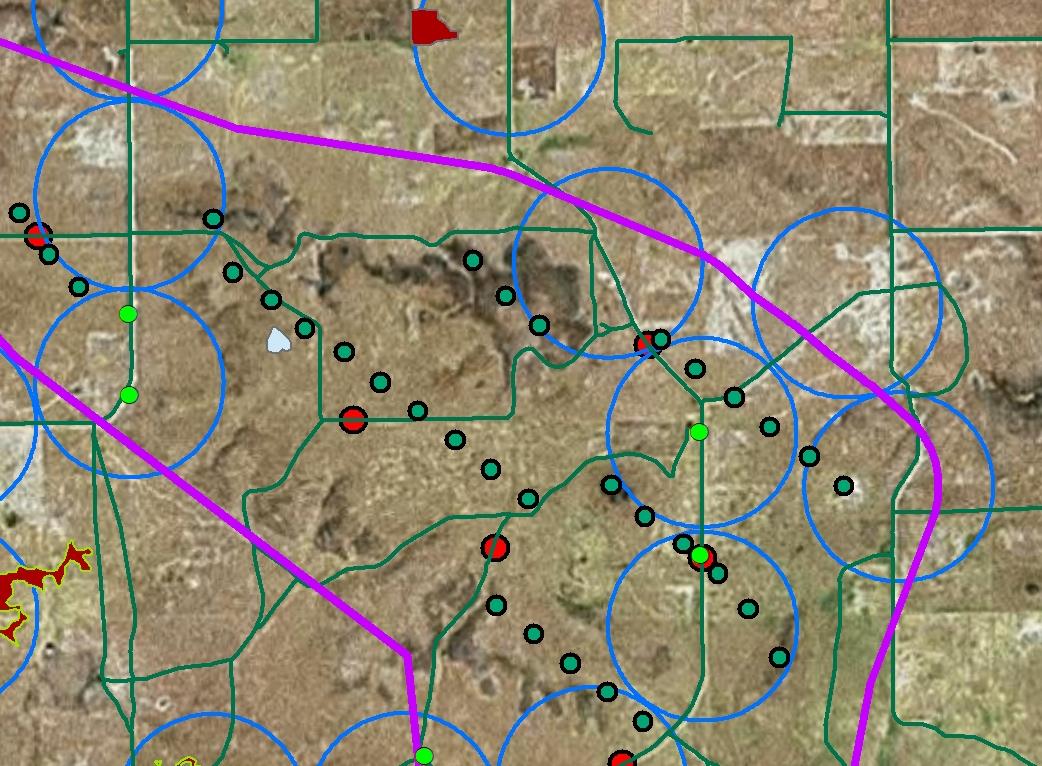
Geographic-based analyses have become the cornerstone of many natural and cultural resource studies. Using GIS tools, large datasets can be easily interpreted, as well as monitored for changes over time. Additionally, the incorporation of satellite and aerial imagery, along with project-specific details, results in the most useful and informative project maps. The staff at ACS use a myriad of GIS hardware and software to assist with everything from study design, to field data acquisition, to data analyses, mapping, and simulations.
Some of the project-related GIS tasks that ACS personnel commonly undertake include :
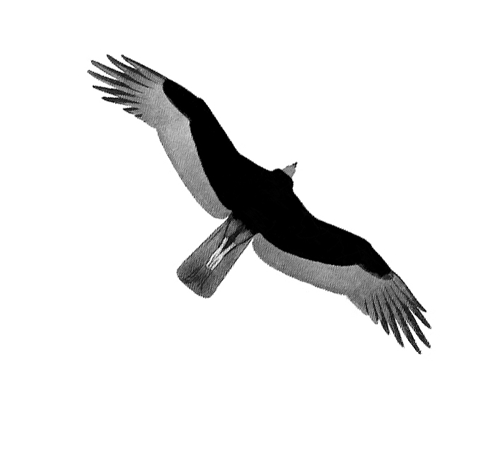
• Project, habitat, and special features mapping
• Survey point plotting
• Spatial analyses
• Dataset conversions
• Image georeferencing
• Viewshed analyses and simulations
• Drone-based surveys and imagery